Where is the Nile River Located? Path and Countries
Discover where the Nile River is located, flowing through 11 African countries from Lake Victoria to the Mediterranean Sea. Learn its path, major branches, historical importance, and vital role in Egypt and Sudan for agriculture and civilization.
The Nile River, the longest river in the world at approximately 6,650 kilometers (4,130 miles), is located primarily in northeastern Africa. It originates from two main sources—the White Nile from Lake Victoria and the Blue Nile from Ethiopia's Lake Tana—and flows northward through 11 countries before emptying into the Mediterranean Sea via the Nile Delta in Egypt. This vital waterway has shaped civilizations for millennia due to its predictable flooding and fertile soils.
Geographical Path of the Nile River
The Nile River's path is unique as it flows northward, defying the typical southward flow of most rivers. It begins in East Africa at Lake Victoria, Africa's largest lake, shared by Tanzania, Uganda, and Kenya. From there, the White Nile travels through Uganda and South Sudan, meeting the Blue Nile at Khartoum in Sudan. The combined river then continues north through Sudan and Egypt, forming the expansive Nile Delta before reaching the sea.
White Nile: Originates in Burundi and Rwanda highlands, flows via Lake Victoria.
Blue Nile: Starts at Lake Tana in Ethiopia, contributes 60% of the river's water during flood season.
Main Nile: From Khartoum to the Mediterranean, about 3,000 km long.
Countries the Nile River Flows Through
Stretching across 11 countries, the Nile supports over 300 million people. Its basin covers about 3.4 million square kilometers, roughly one-tenth of Africa's land area. The river's location makes it crucial for biodiversity, irrigation, and hydropower in arid regions.
Tanzania (source lakes)
Uganda
Rwanda
Burundi
Democratic Republic of the Congo
Kenya
Ethiopia
Eritrea
South Sudan
Sudan
Egypt (Nile Delta)
Major Features and Branches
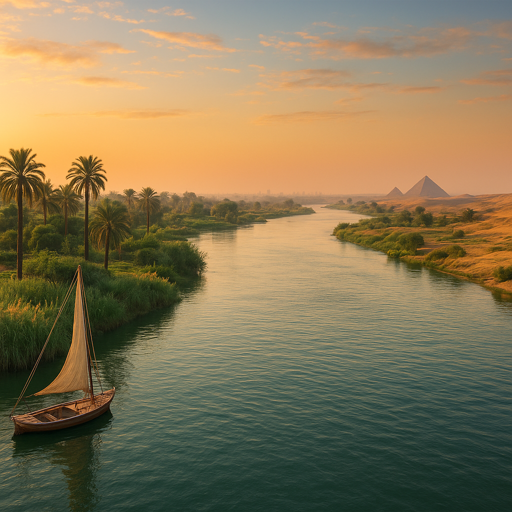
The Nile Delta, a vast fan-shaped region in northern Egypt spanning 22,000 square kilometers, is where the river splits into multiple distributaries. Key features include Lake Nasser, formed by the Aswan High Dam, which controls flooding and generates electricity. The river's cataracts—rocky rapids in Sudan and Egypt—once hindered navigation but now support tourism.
Historical and Economic Importance
Ancient Egyptians called it Iteru, meaning 'great river,' crediting it for their prosperity. Real-world examples include the pyramids along its banks and the annual inundation that deposited nutrient-rich silt. Today, it irrigates 95% of Egypt's arable land, powering projects like the Toshka Valley reclamation.
Agriculture: Supports cotton, wheat, and rice farming in Egypt and Sudan.
Hydropower: Aswan Dam produces 2,100 MW annually.
Tourism: Cruises from Luxor to Aswan highlight temples like Karnak.
Challenges Facing the Nile River
Water scarcity and disputes, such as Ethiopia's Grand Ethiopian Renaissance Dam, threaten equitable sharing. Pollution from urban areas and climate change reducing flows pose risks. International agreements like the Nile Basin Initiative promote cooperation among riparian states.
Conclusion: The Lifeline of Africa
The Nile River remains Africa's lifeline, bridging diverse nations and sustaining life in the desert. Understanding its location and path highlights its global significance. For travelers or researchers, exploring its banks reveals a timeless blend of nature and history.